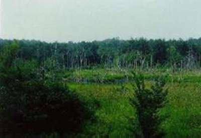
Site 12 - Mothersbaugh
Mothersbaugh |
|
Site
Identification
|
| CWC Reference Number: | 12 |
| State: | PA |
| County: | Huntingdon |
| Municipality: | Barree |
| USGS Quad: | Pine Grove |
| Watershed: | Shaver's Creek/Juniata |
| Hydrogeomorphic Class: | Headwater Impoundment Beaver |
| Disturbance Class: | Pristine |
| Dominant Vegetation Class: | PEM |
| Wetland Area: | 2.5 ha (6.2 ac) |
| Year(s) Sampled: | 1993, 1994 |

Site 12 - Mothersbaugh
|
Vegetation
|
| Herbaceous |
| Percent cover: | 94.8% (range 75-100%) |
| Dominant Species |
| Common Name: | Scientific Name: |
| Spikerush | Eleocharis sp. |
| Rice cutgrass | Leersia oryzoides |
| Goldenrod | Solidago sp. |
| Broad leaf cattail | Typha latifolia |
| Smartweed | Polygonum sp. |
| Woody |
| Percent cover: | 23.6%(range 0-85%) |
| Dominant Species |
| Common Name: | Scientific Name: |
| Willow | Salix sp. |
| Speckled alder | Alnus incana |
| Swamp rose | Rosa palustris |
| Red panicle dogwood | Cornus racemosa |
| Northern arrowwood | Viburnum recognitum |
| Weighted Indicator Status (dominant spp.) |
| Herbaceous: | 1.54 |
| Woody: | 1.67 |
| Indicator Status (all spp.) |
| Herbaceous: | 1.44 |
| Woody: | 2.10 |
| Species Richness |
| Total: | 100 |
| Herbaceous: | 93 (over 2 years) |
| Woody: | 7 |

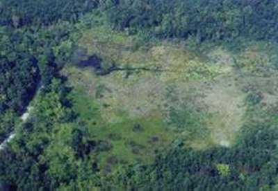
Aerial View of Mothersbaugh
|
Soils
|
| Matrix Chroma (mean): | 1.0 |
| Organic Matter (mean %): | 38.94 |
| Bulk Density (g/cm2): | 0.32 |
| Soil Series: | Brinkerton silt loam |
| Texture (mean %) |
|
Sand:
|
28.4 |
|
Silt:
|
41.5 |
|
Clay:
|
30.1 |
| Sedimentation Rate |
| Mineral loading (g/cm2): | 0.88 |
| Equivalent depth (cm): | 0.70 |
| Organic loading (g/cm2): | 0.74 |
|
Hydrology
|
| Water Level |
| Median (cm): | 0.0 |
| Range (cm): | -69.0 - 57.0 |
| Water Quality |
| pH (mean): | 7.0 |
| Conductivity (mean): | 450.0 |