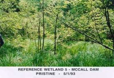
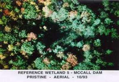
McCall Dam |
|
Site
Identification
|
| CWC Reference Number: | 5 |
| State: | PA |
| County: | Centre |
| Municipality: | Miles |
| USGS Quad: | Carroll |
| Watershed: | White Deer Creek |
| Hydrogeomorphic Class: | Riparian Depression |
| Disturbance Class: | Pristine |
| Dominant Vegetation Class: | PSS |
| Wetland Area: | 0.2ha (0.5ac) |
| Year(s) Sampled: | 1994 |
|
Vegetation
|
| Herbaceous |
| Percent cover: | 96.1% (range 80-100%) |
| Dominant Species |
| Common Name: | Scientific Name: |
| Emory's sedge | Carex emoryi |
| Sedge | Carex retroflexa |
| Grass |
---
|
| Swamp dewberry | Rubus hispidus |
| Marsh St. John's wort | Triadenum virginicum |
| Woody |
| Percent cover: | 61.6% (range 30-85%) |
| Dominant Species |
| Common Name: | Scientific Name: |
| Speckled alde | Alnus incana |
| Eastern white pine | Pinus strobus |
| Red maple | Acer rubrum |
| Spruce | Picea sp. |
| Red oak | Quercus rubra |
| Weighted Indicator Status (dominant spp.) |
| Herbaceous: | 1.58 |
| Woody: | 3.27 |
| Indicator Status (all spp.) |
| Herbaceous: | 1.71 |
| Woody: | 2.67 |
| Species Richness |
| Total: | 61 |
| Herbaceous: | 47 |
| Woody: | 14 |
|
Soils
|
| Matrix Chroma (mean): | 1.0 |
| Organic Matter (mean %): | 16.21 |
| Bulk Density (g/cm2): | NA |
| Soil Series: | Philo and Atkins very stony soils |
| Texture (mean %) |
|
Sand:
|
45.7 |
|
Silt:
|
33.3 |
|
Clay:
|
21.0 |
| Sedimentation Rate |
| Mineral loading (g/cm2): | 11.02 |
| Equivalent depth (cm): | 1.3 |
| Organic loading (g/cm2): | 1.75 |
|
Hydrology
|
| Water Level |
| Median (cm): | -4.50 |
| Range (cm): | -67.0 - 4.0 |
| Water Quality |
| pH (mean): | 5.9 |
| Conductivity (mean): | 48.9 |