
Published Article/Report
- Wardrop, D.H., M. E. Kentula, D. L. Stevens, Jr., J.M. Rubbo, K. Hychka, and R. P. Brooks. Assessment of wetlands in the Upper Juniata watershed in Pennsylvania, U.S.A using the hydrogeomorphic approach. Wetlands 27(3):432-445.
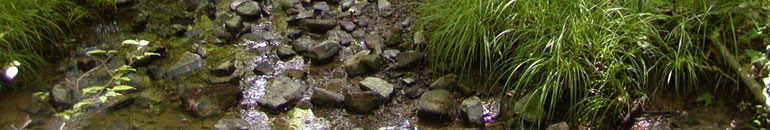
This paper reports on the ecological status of wetlands in the Upper Juniata watershed in Pennsylvania, USA, as determined by employing the hydrogeomorphic (HGM) approach. HGM assessment provides a measure of the potential functional performance of a single wetland for up to 11 functions, depending on the subclass. Functional Capacity Index (FCI) scores calculated for each function range between a score of 1 (indicates the site is performing at optimum levels) and a score of 0 (indicates the site is not performing the function). Mean scores for all functions for the wetland resource in the Upper Juniata ranged from 0.48–0.63, except for Long-term Surface-Water Storage (0.39) and Characteristic Hydrology (0.85). Cumulative Distribution Function (CDF) plots were fairly linear over most of the distribution for all functions, indicating that the FCI scores were evenly distributed over the population. Several of the plots flattened at the upper and/or lower ends of the curves, indicating that a very small proportion of the wetland area had the highest and lowest scores. Clustering of the 69 riverine and slope sites using the FCI scores from the three functions with the most well-developed models resulted in the formation of four Functional Status Groups (FSGs). Groups 1 and 2 represented relatively high functioning groups of sites. They were differentiated by an exceptionally high Plant Community Function in Group 1 that differed significantly from the low value in Group 2. FSG’s 3 and 4 represented relatively low functioning groups of sites and were differentiated by a significantly high Vertebrate Community Function in Group 3. We defined three reference domains (Natural, Agricultural, and Developed) based on predominant land cover. Sites of any given FSG were distributed across the reference domains, but there were some differences in distribution. Sites in the Natural Domain were much more likely to be in the higher functioning FSGs, while the Agricultural Domain was dominated by sites with an overall low level of functioning. Sites in the Developed Domain are equally distributed across the four FSGs. In summary, we demonstrated how HGM assessment might be employed to describe the functional status of the wetland resource in a watershed. We also demonstrated how the results of the assessment could be (1) used to evaluate the efficacy of the models comprising the HGM assessment and (2) combined with other data to identify relationships that could be used to develop management approaches.