
Published Article/Report
- Piechnik, D. A, S. C. Goslee, T. L. Veith, J. A. Bishop, and R. P. Brooks. 2012. Topographic placement of management practices to reduce water quality impacts from pastures. Landscape Ecology 27:1307-1319.
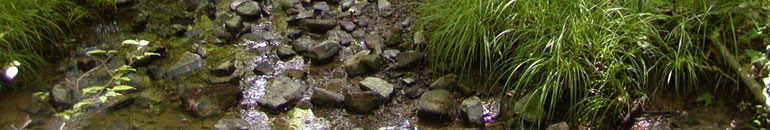
Riparian buffers, a best management practice (BMP), lessen environmental impacts caused by pasture-based agriculture by excluding livestock from streams and removing sediment and nutrients from overland flow before they enter the watercourse. Geospatial data analysis of digital elevation models (DEMs) can improve BMP placement by ensuring that BMPs intercept flow paths. Livestock heavy use areas and riparian buffers within 100m of the stream were digitized using aerial photography of Spring Creek watershed (Pennsylvania, USA). Flow path lengths and stream entry points from heavy use areas, from all agricultural land uses, and from a random sample of points were calculated using 1, 10, and 30m DEM resolutions. Euclidean distances identified the nearest stream entry point regardless of topography. Drainage areas for each streambank cell were evaluated using each DEM resolution. Topographic calculations differed significantly from Euclidean, with median differences of 14.3m for flow path length and 24.1 m between stream entry points for the 10m DEM. Existing buffers intercepted runoff from only 23% of heavy use areas. Drainage areas ranged from one to hundreds of DEM cells. Any DEM is an arbitrary representation of a continuous surface; both resolution and processing method affect the suitability of such a representation for any given purpose. We found that 30 m DEMs did not provide reasonable flow path estimates at the scale of grazing agriculture in this region, while Pennsylvania 1m DEMs were minimally smoothed during DEM preparation, resulting in erratic flow paths. The 10m DEMs were the most suitable available DEM product, and should be used in conjunction with site visits for planning pasture BMP placement.