
Published Article/Report
- Miller, R. L., Jr., D. R. DeWalle, R. P. Brooks, and J. C. Finley. 1997. Long-term impacts of forest road crossings of wetlands in Pennsylvania. No. J. Appl. Forest. 14(3):109-116.
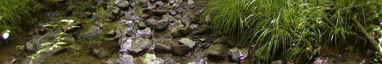
A survey was conducted of 70 forest road crossings of wetlands in Pennsylvania to describe the characteristics of these crossings and to evaluate the long-term impacts of the crossings on habitat quality, channel stability, vegetation, wetland width and channel sediment embeddedness above and below the crossings. Sampling was stratified into five physiographic provinces and three land ownership types. Difficulty was encountered in identifying sites for the survey especially in the glaciated northwest region and on private and industry lands. The majority of samples obtained were from unglaciated provinces and public lands. Wetlands identified were primarily linear riparian wetlands associated with first- and second-order channels. Crossings encountered were largely gravel-covered culverts used to provide access to adjacent management areas. Only 35 of 814 comparisons of mean environmental conditions above and below the wetland crossings were found to be significant. Significant differences that did occur suggested that stream bed fine sediment levels were higher, basal area lower, and herbaceous cover higher in the immediate vicinity of some crossings simply due to the presence of the road and fill banks.