
Chapter 3 Aerial Photographs of Sites
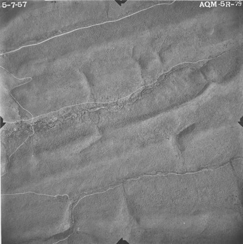
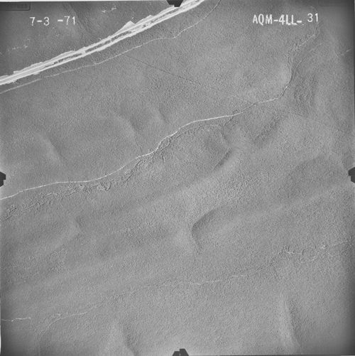
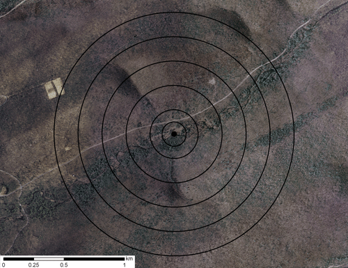
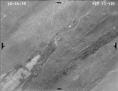
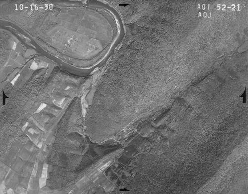
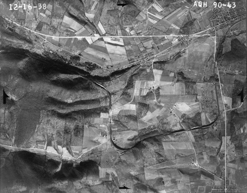
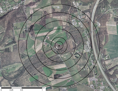
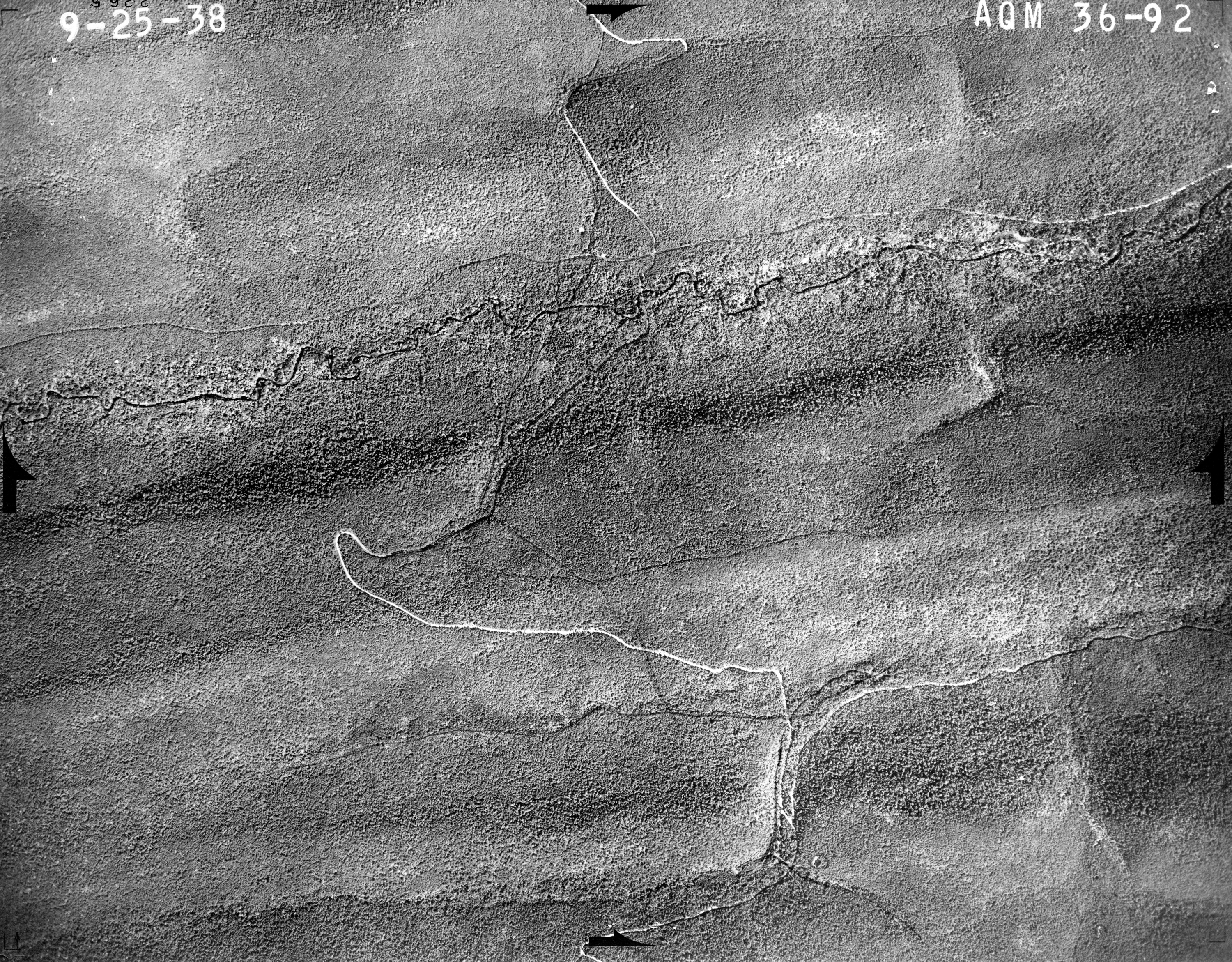
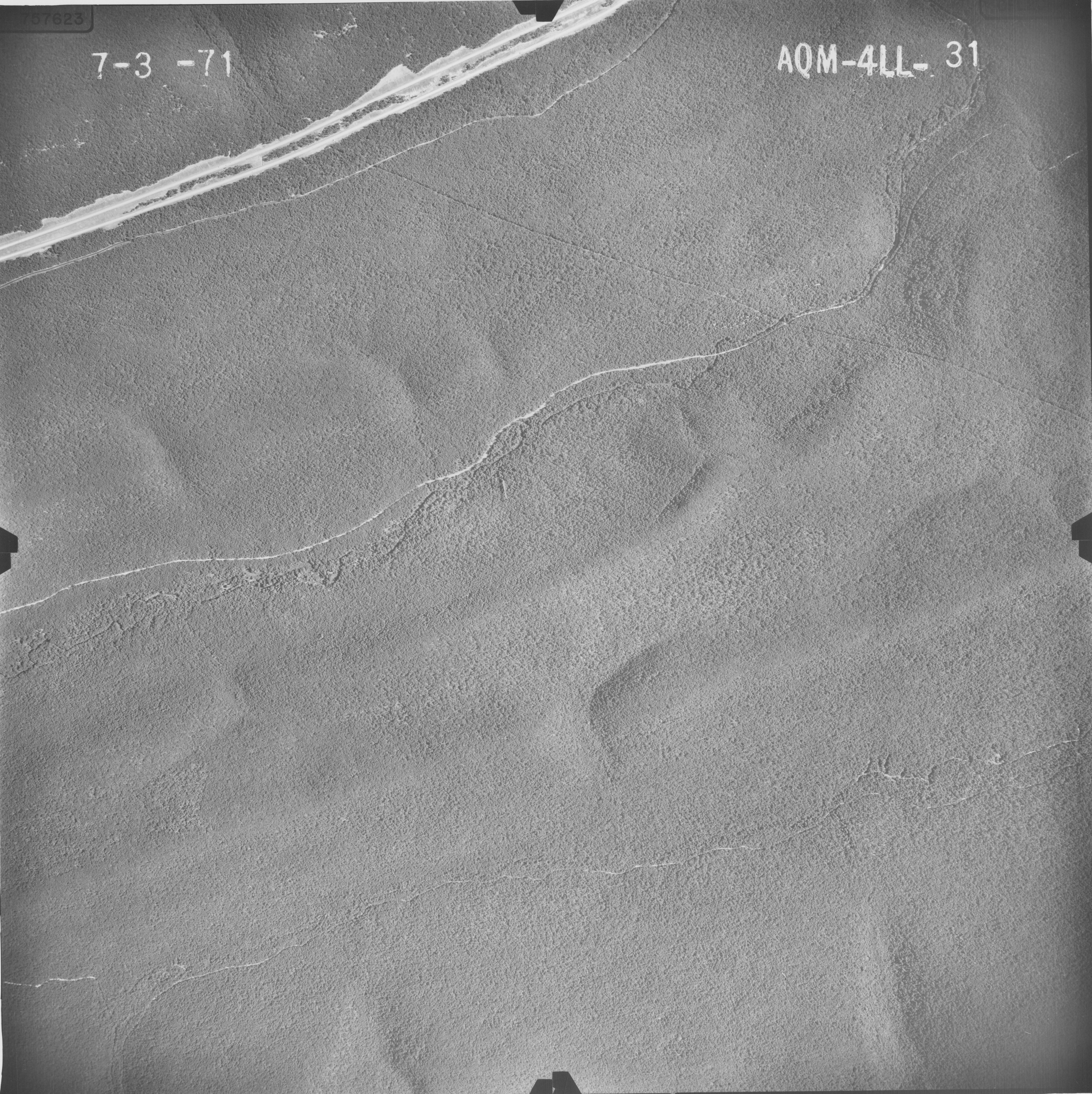
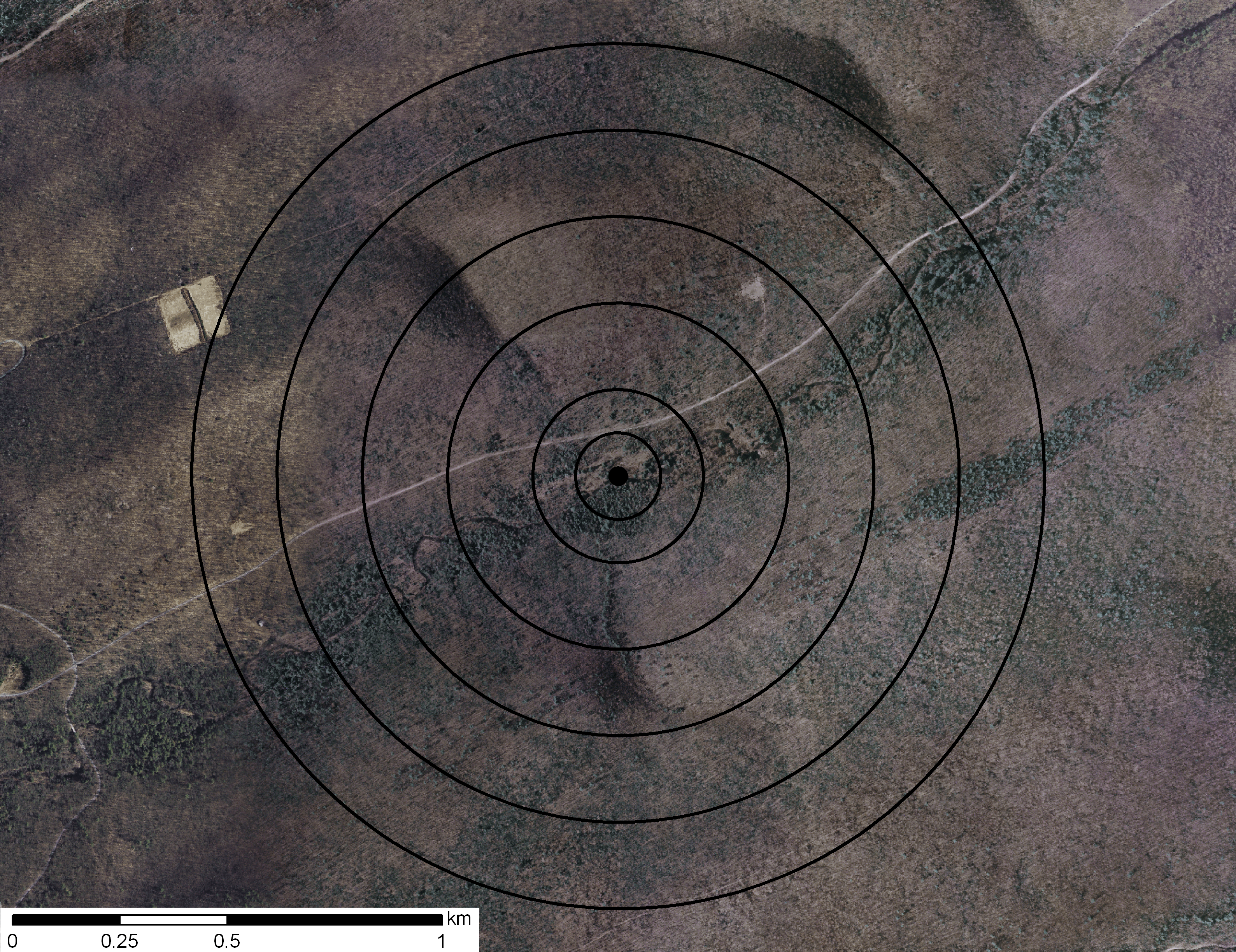
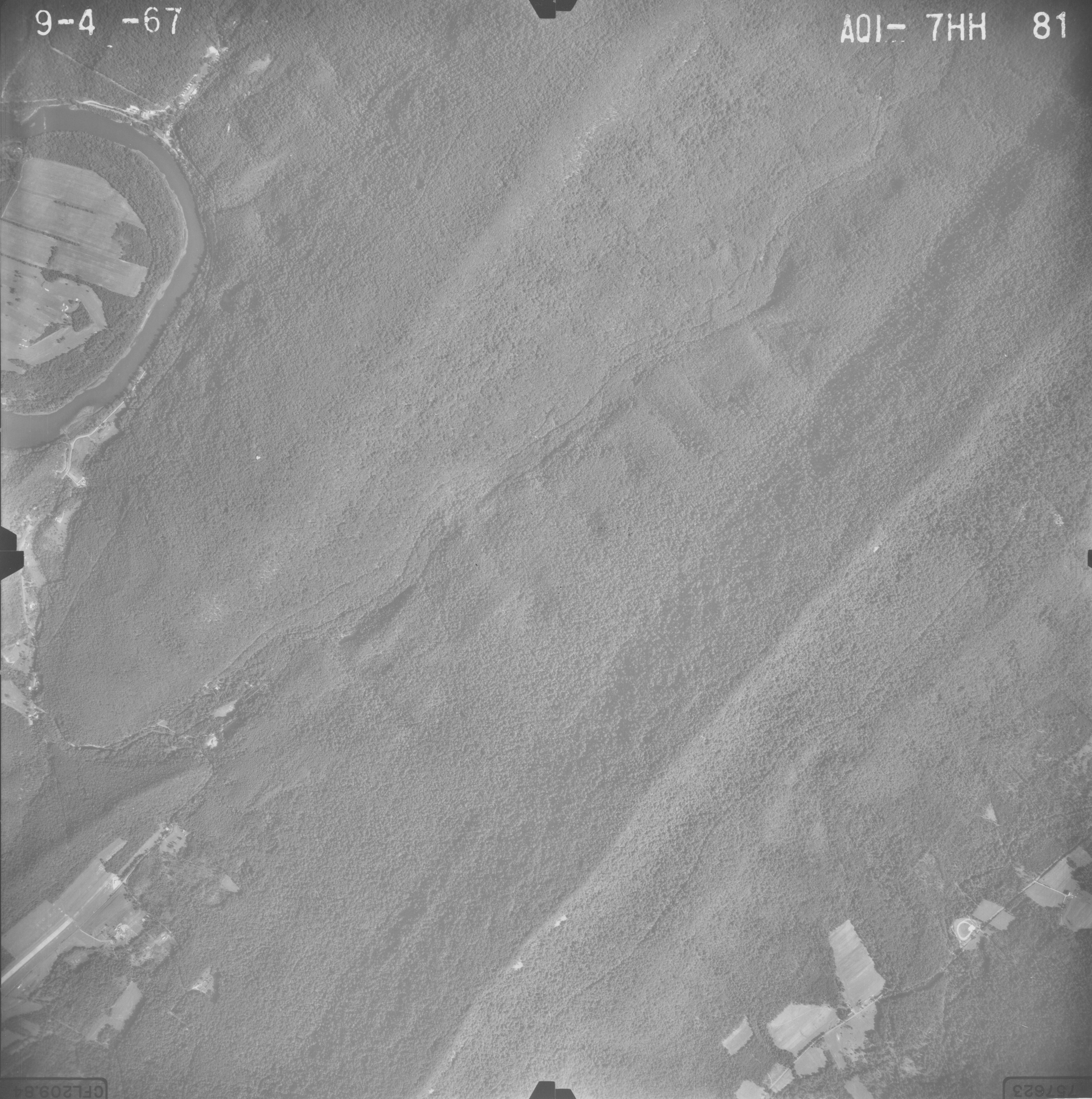
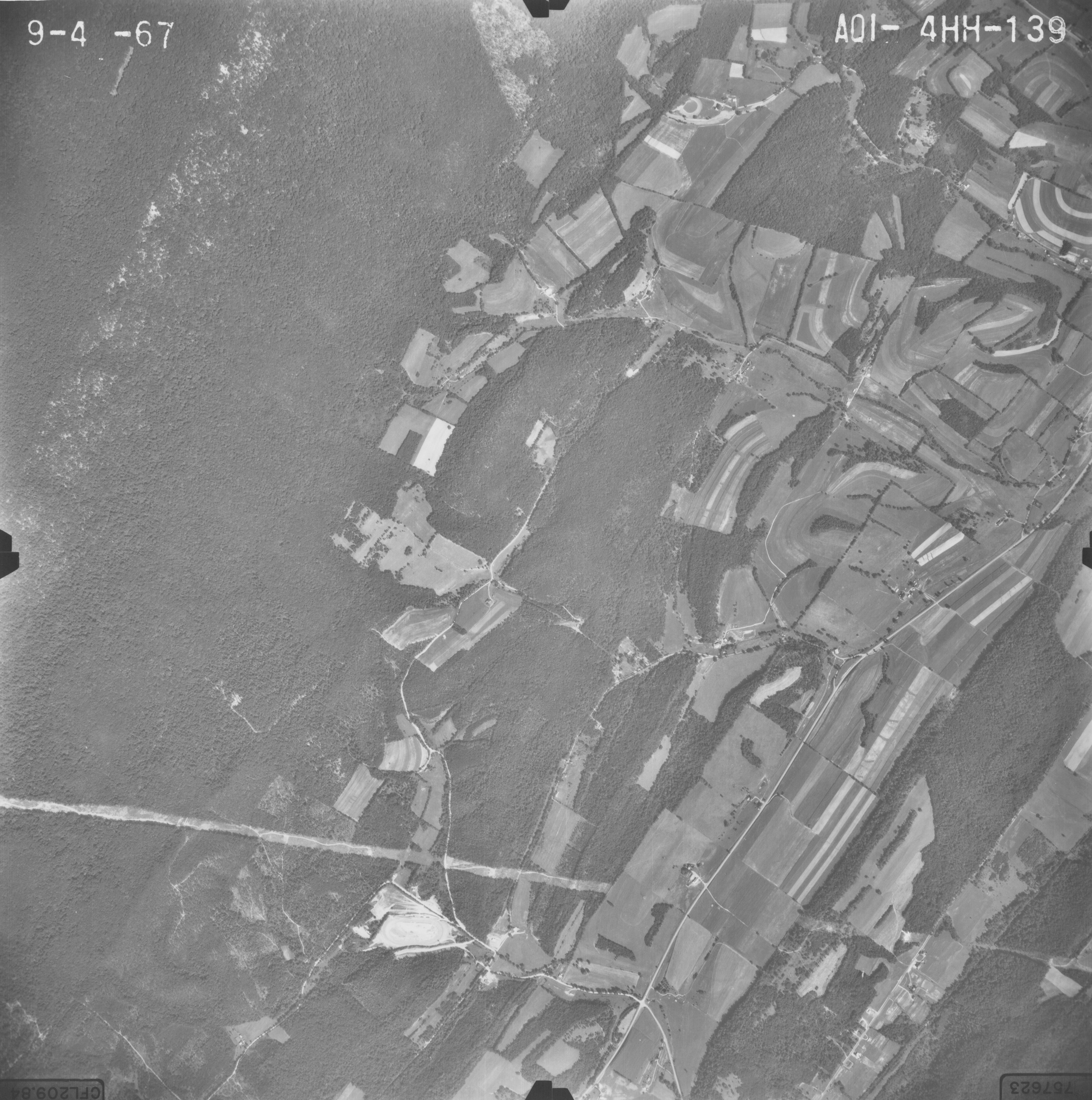
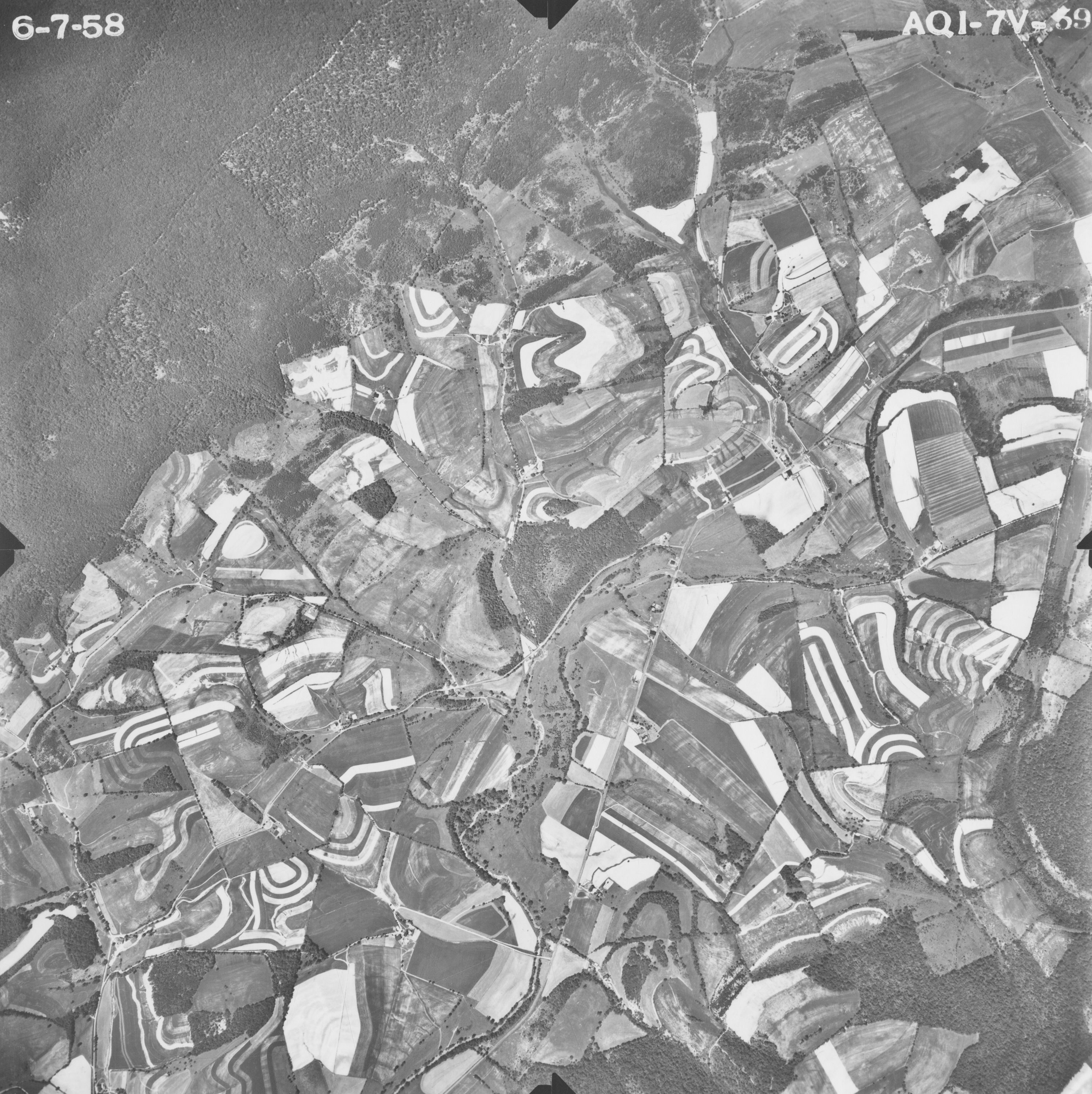
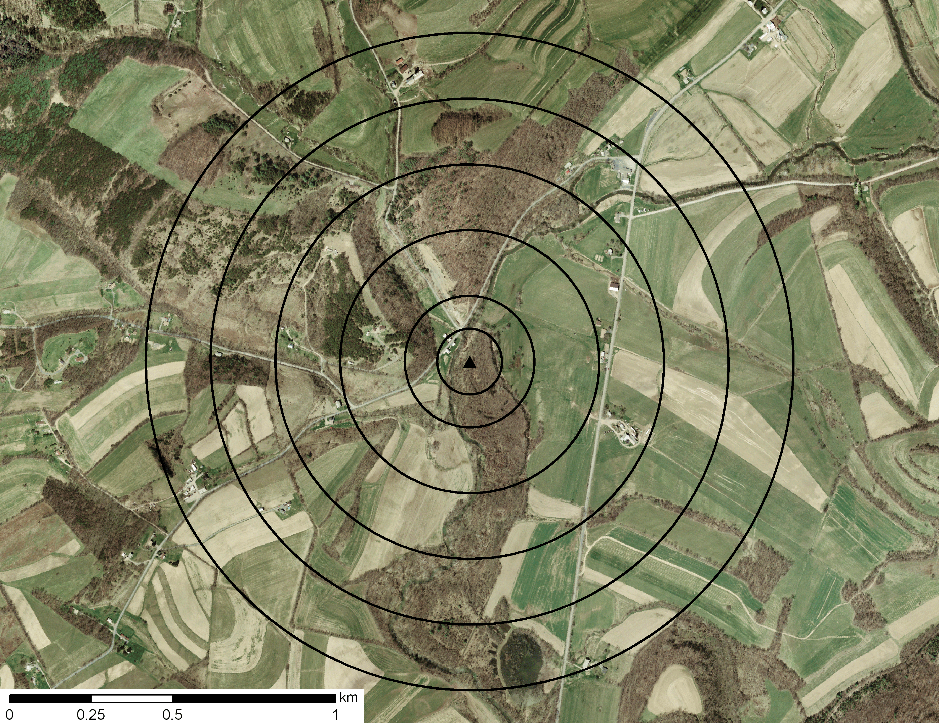
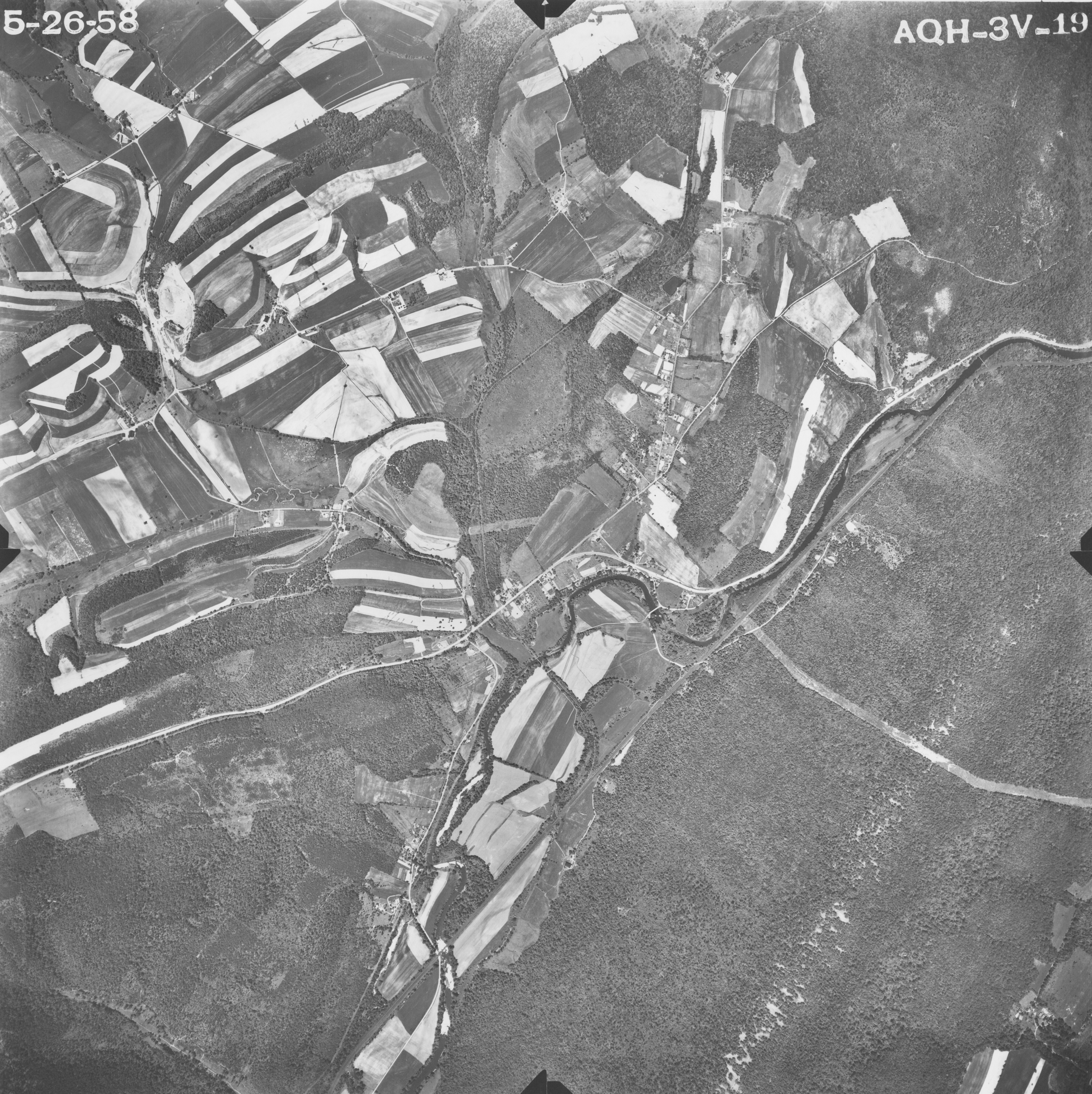
Site #13
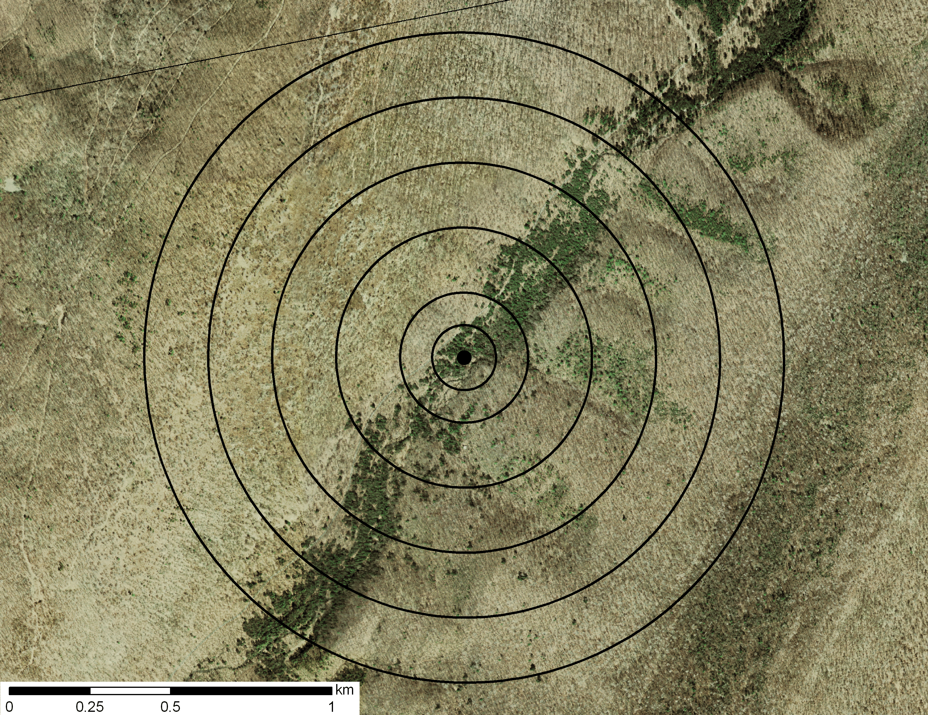
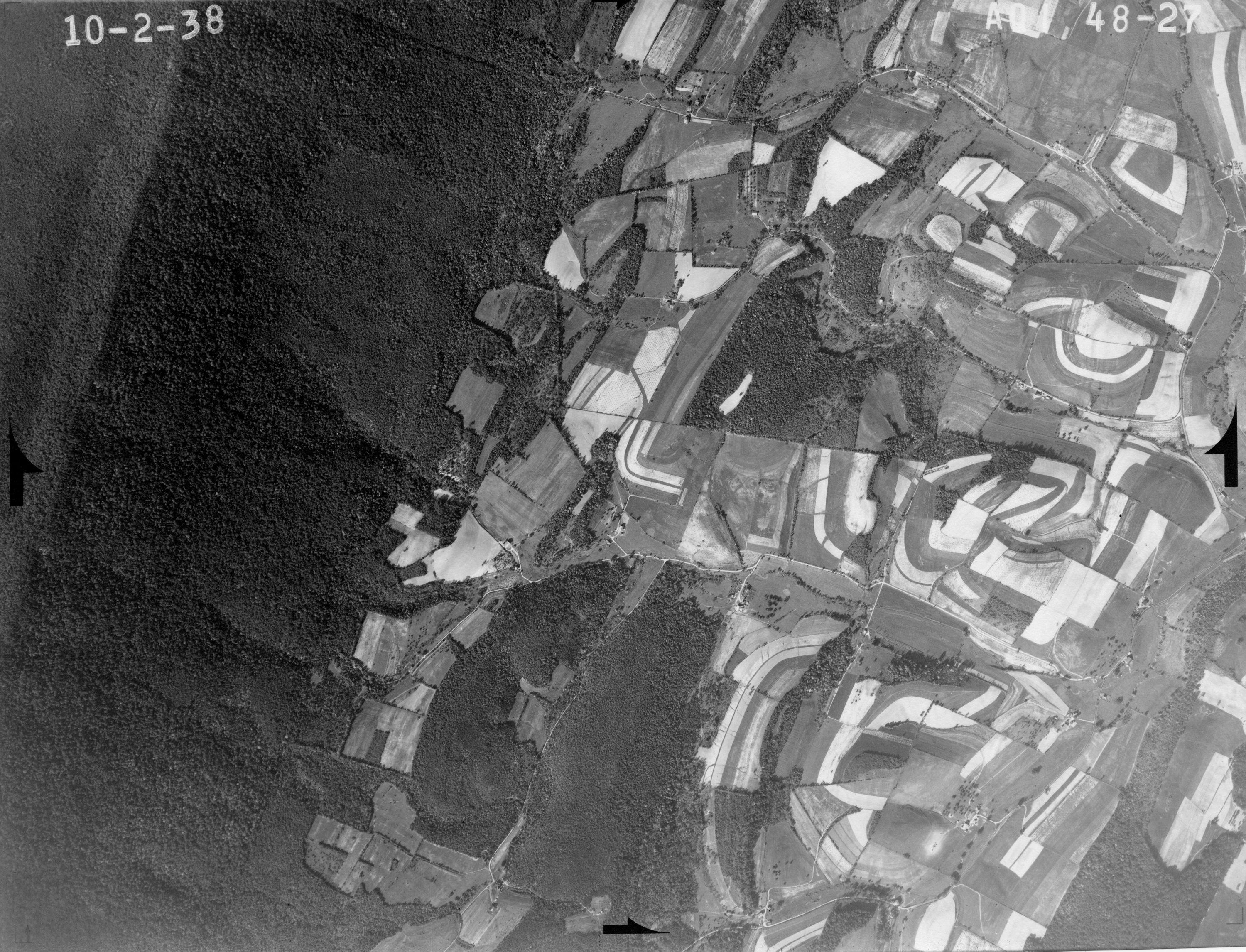
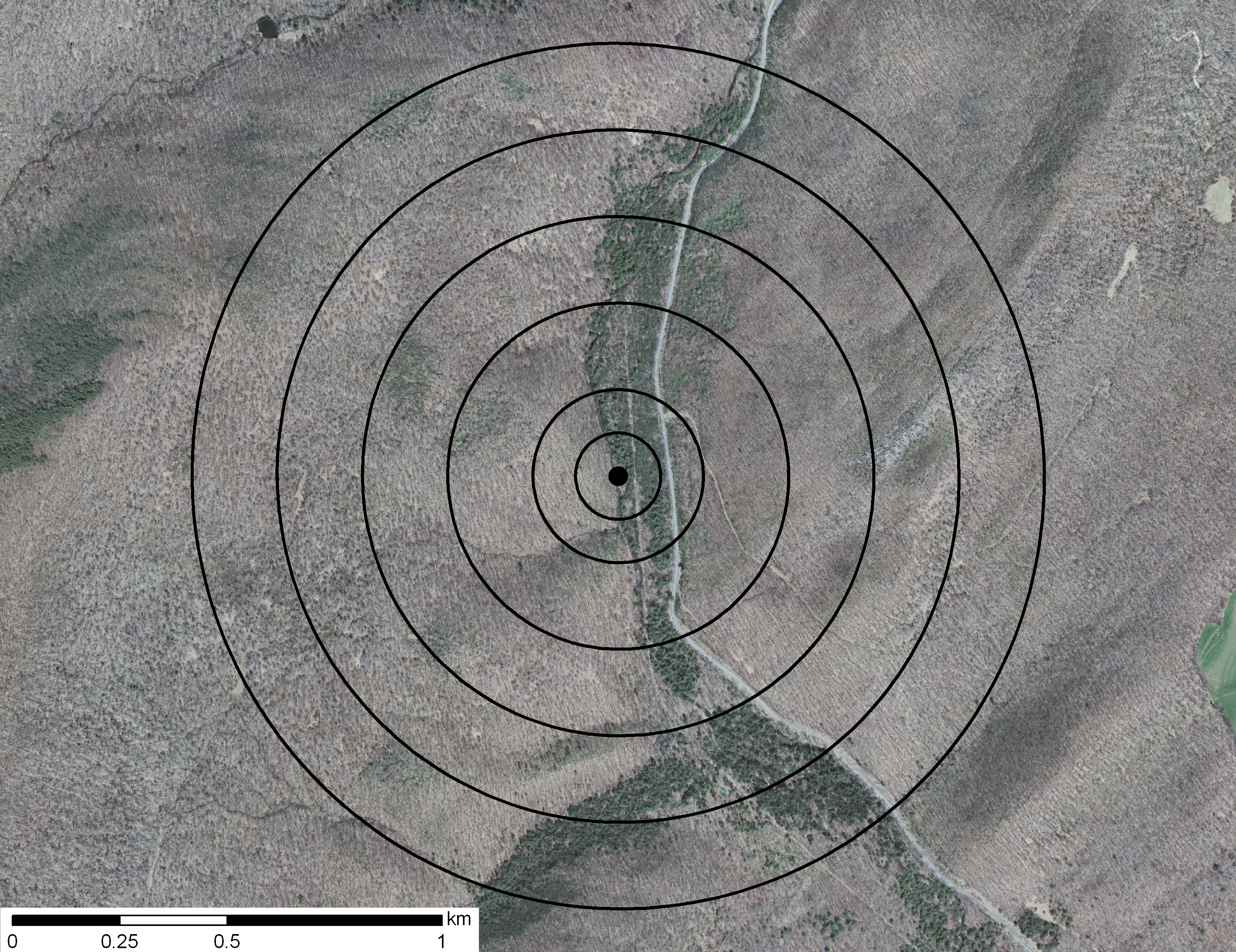
Photographs (scale 1:20000) were taken from Historical Aerial Photographs of Pennsylvania (Pennsylvania Geological Survey). An orthoimage is also displayed for 2005 with land cover analysis circles and buffers. The orthoimage (scale 1:10,699) was created with PAMAP Program Cycle 1 High Resolution Orthoimage 2003 2006 (PA DCNR).
- 1938

- 1957
- 1971
- Orthoimage with landcover analysis circles and buffers
- 1938
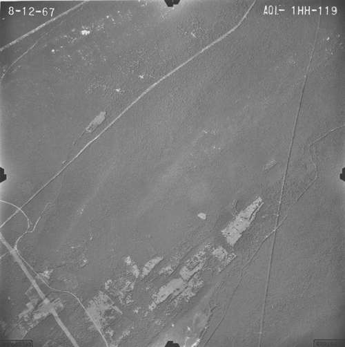
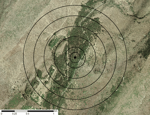
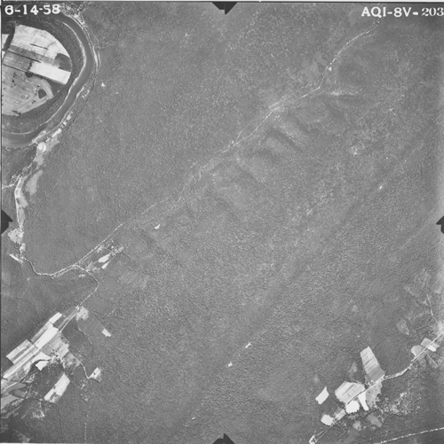
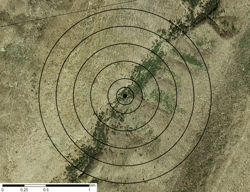
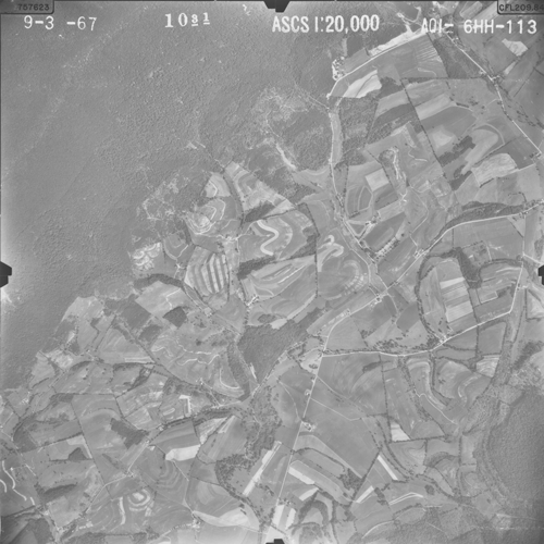
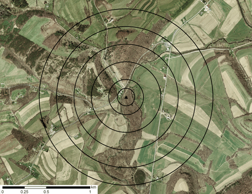
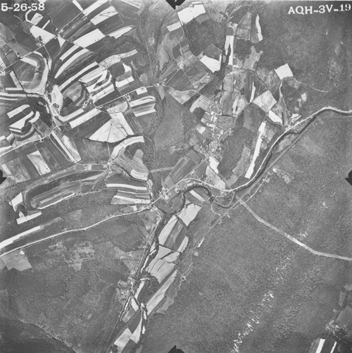
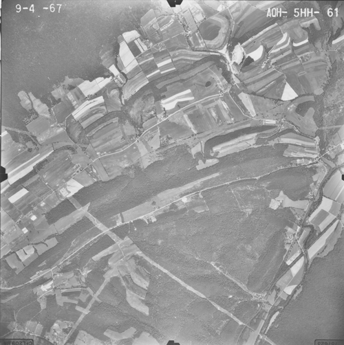
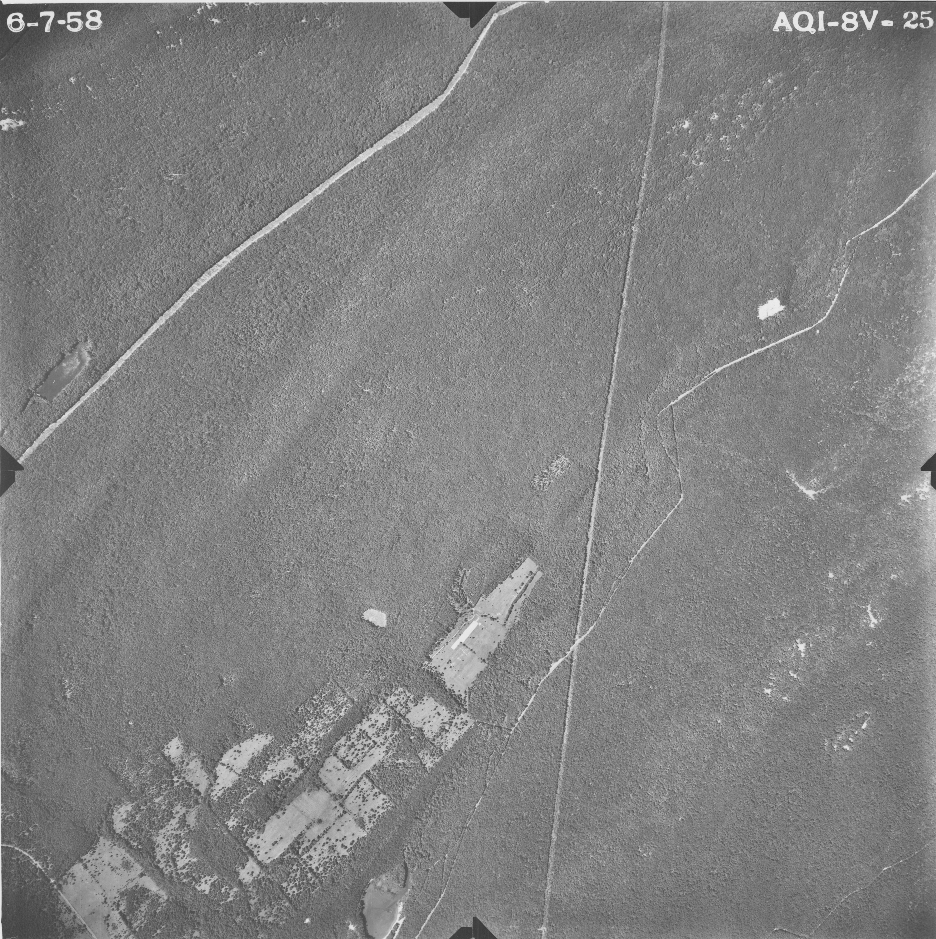
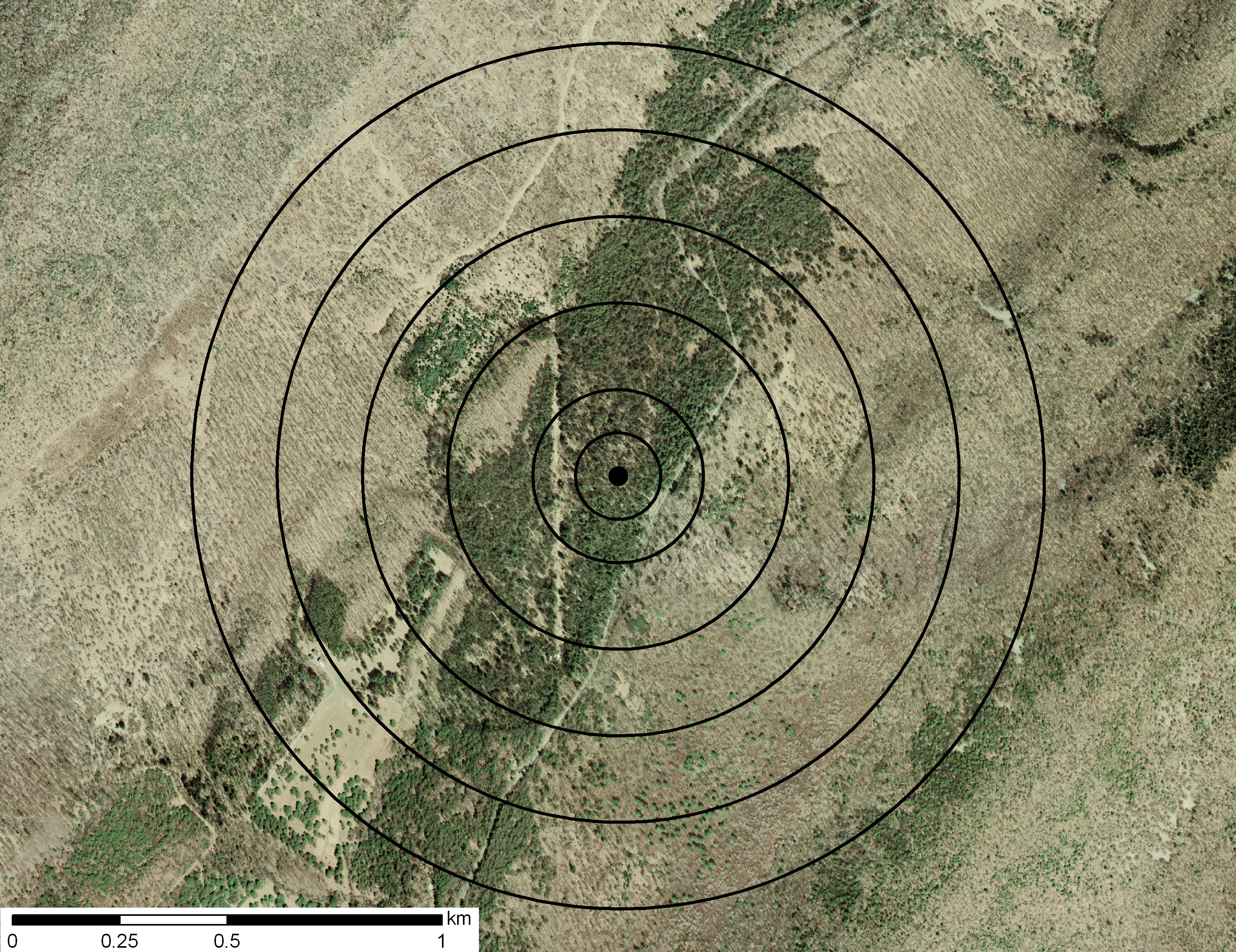
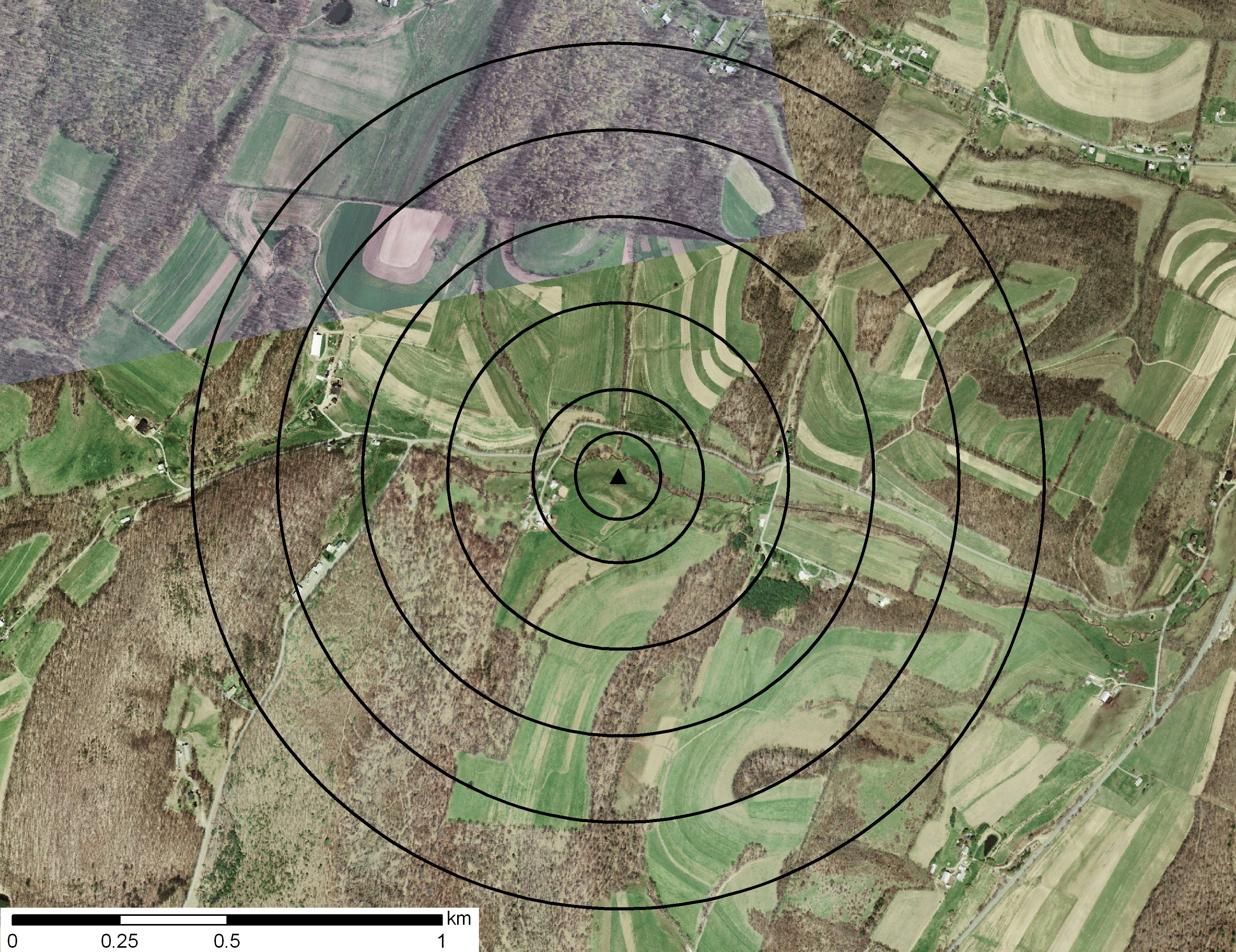
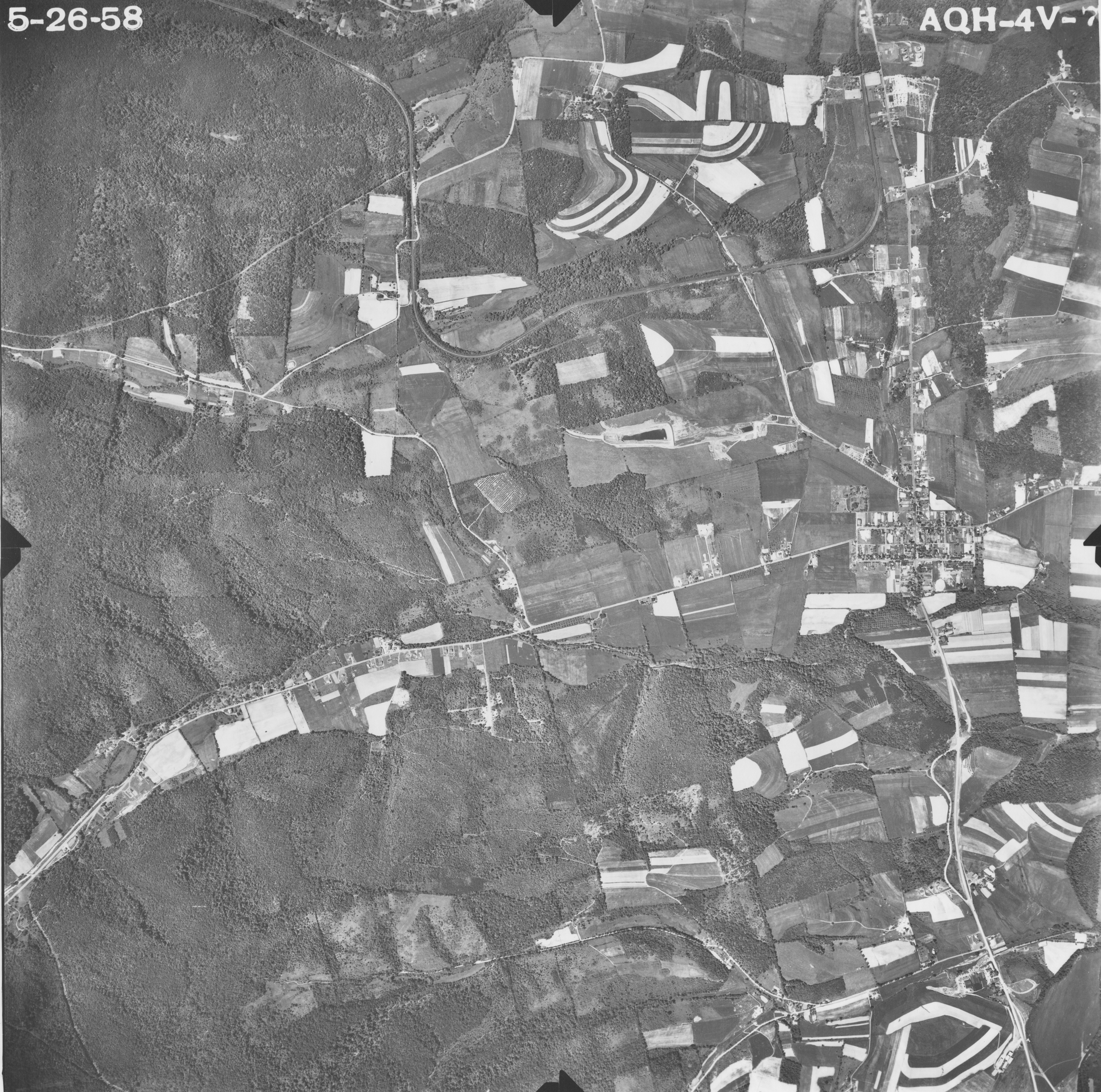
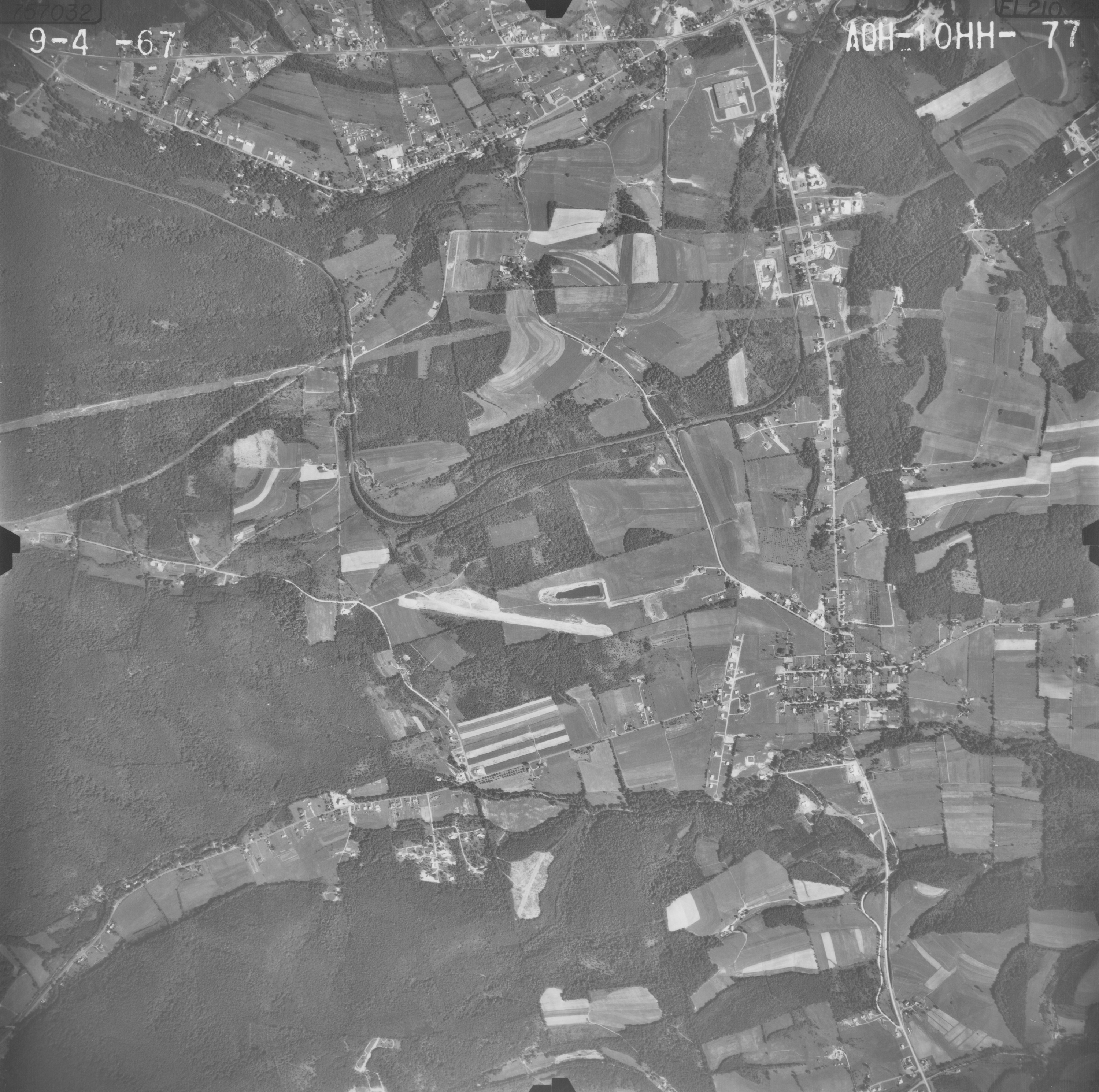
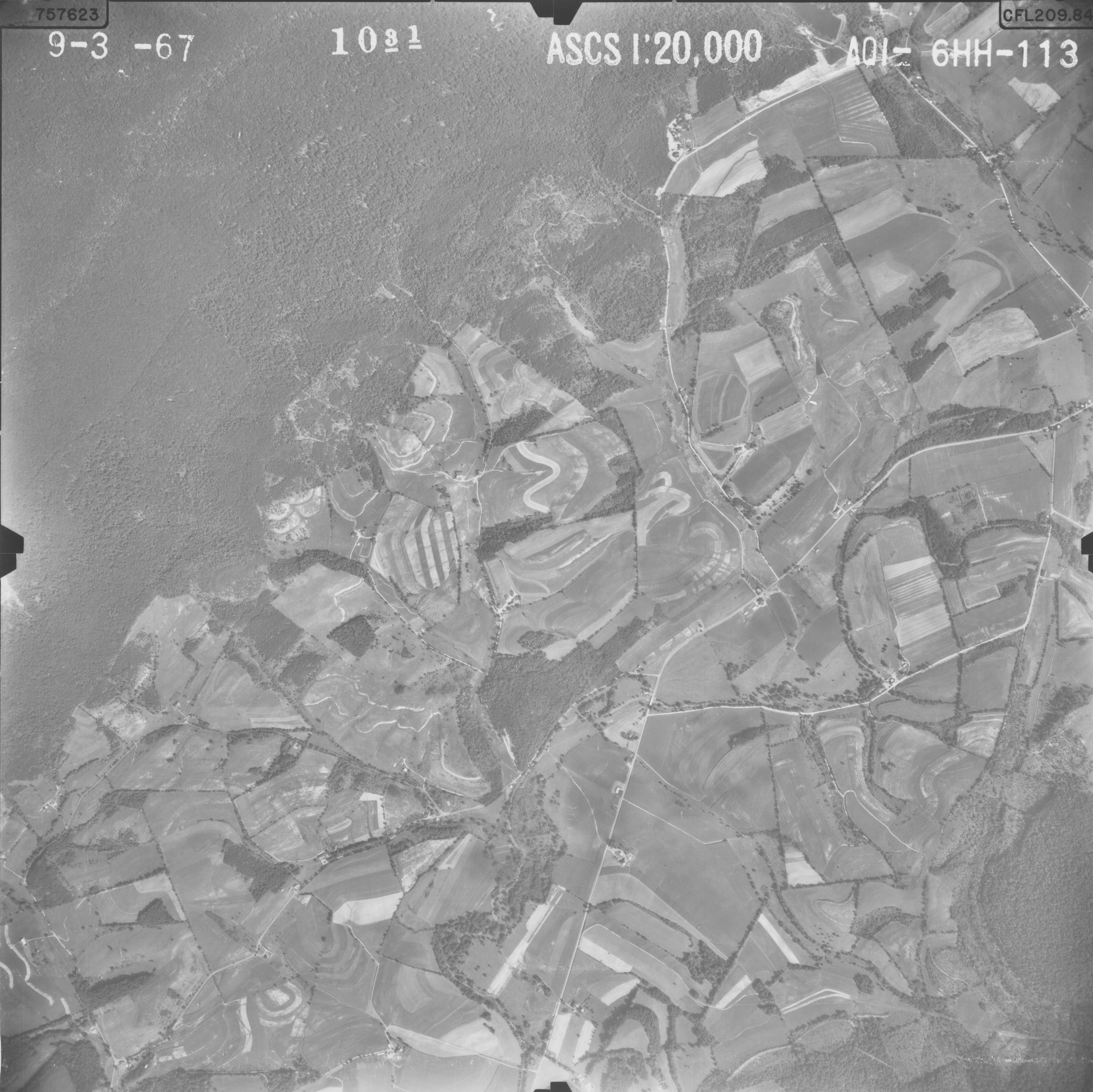
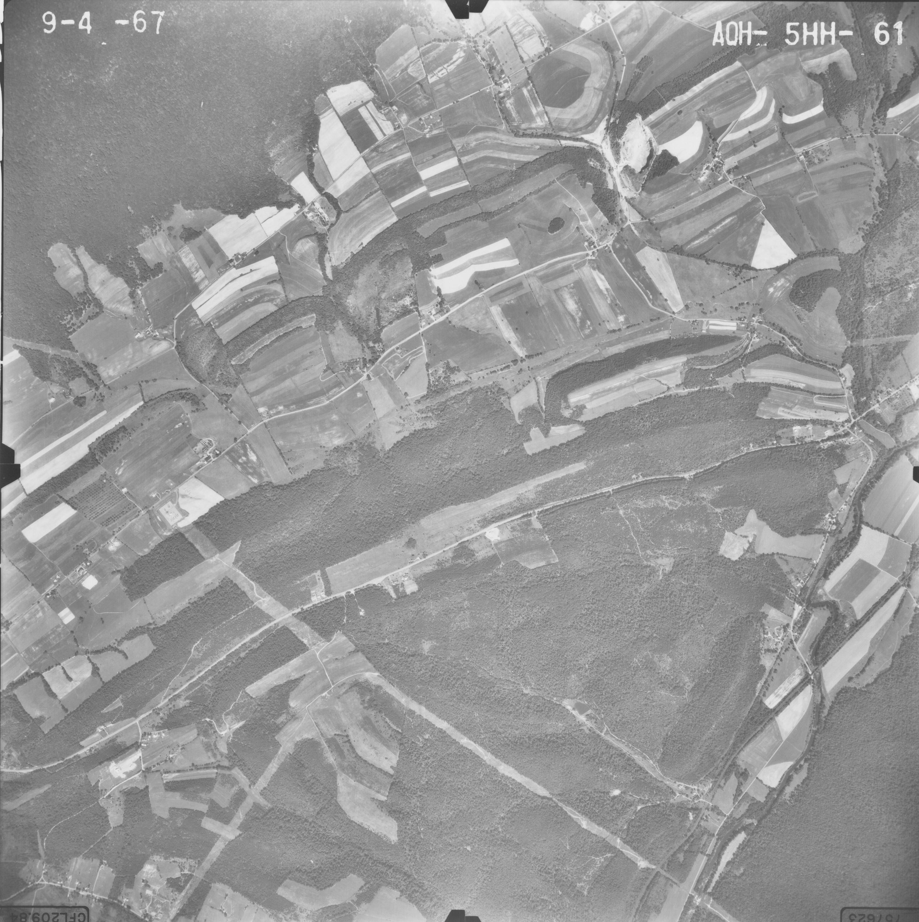
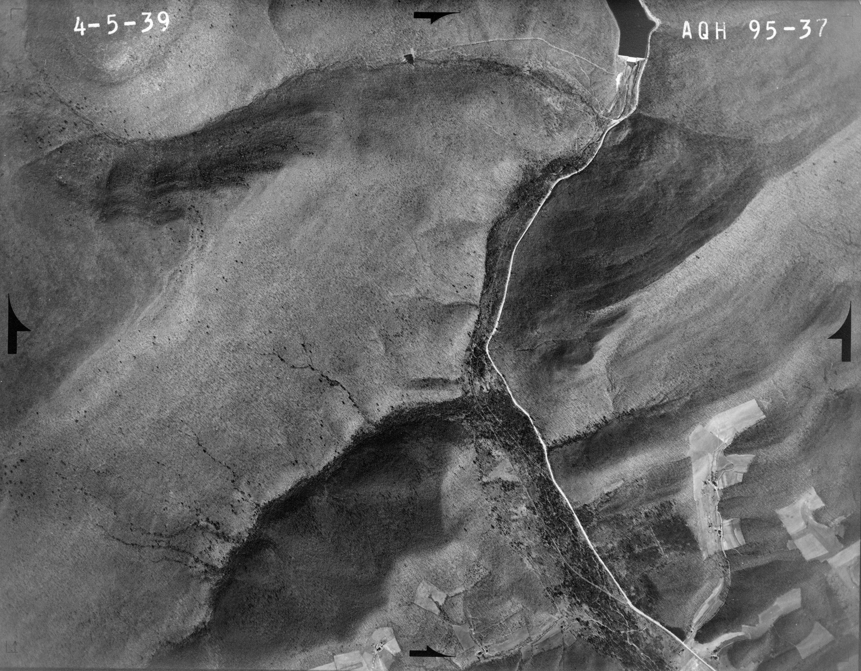
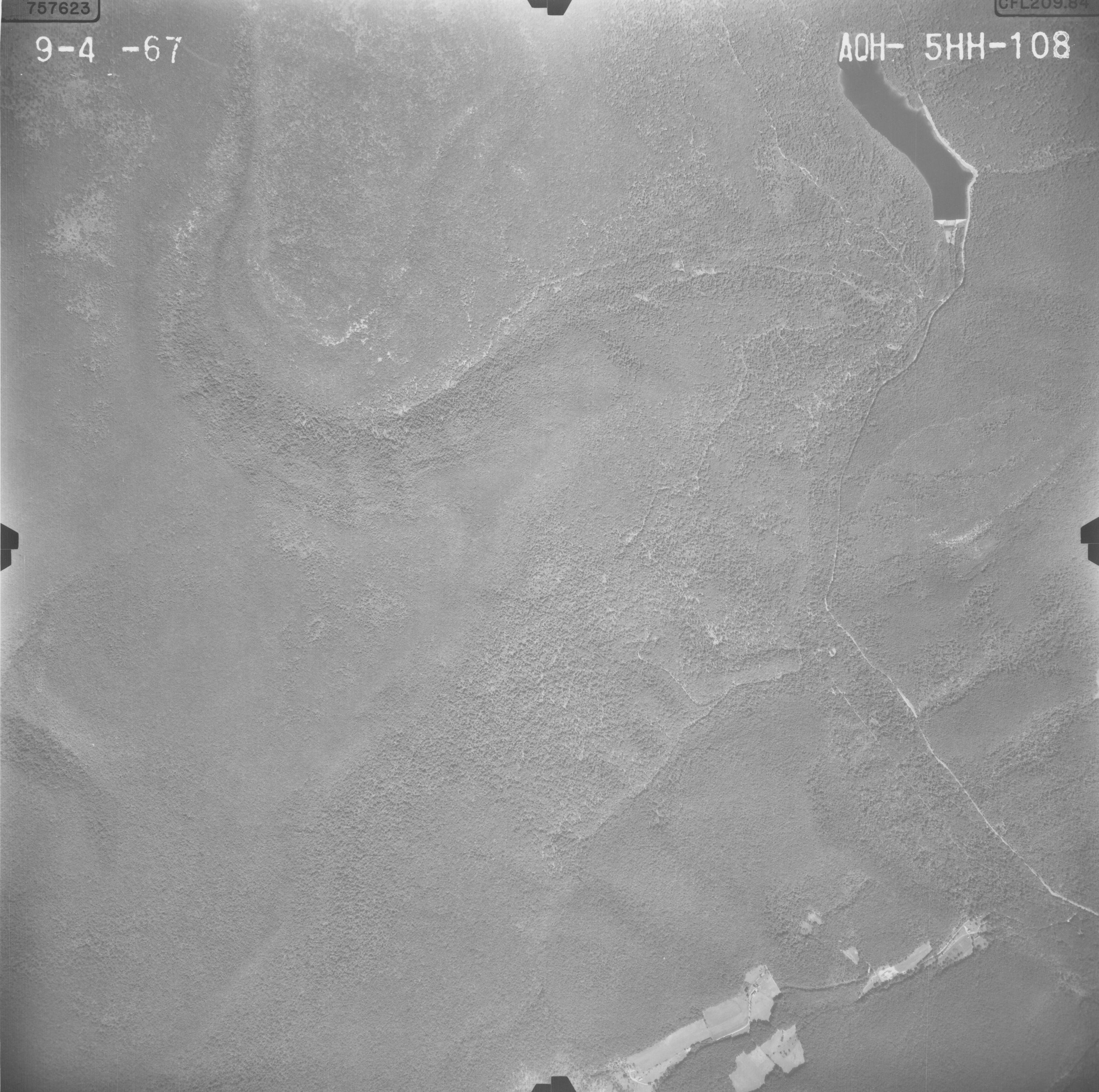
Site #60
Photographs (scale 1:20000) were taken from Historical Aerial Photographs of Pennsylvania (Pennsylvania Geological Survey). An orthoimage is also displayed for 2005 with land cover analysis circles and buffers. The orthoimage (scale 1:10,699) was created with PAMAP Program Cycle 1 High Resolution Orthoimage 2003 2006 (PA DCNR).
- 1938
- 1958

- 1967
- Orthoimage with landcover analysis circles and buffers
- 1938
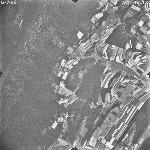
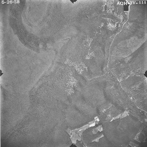
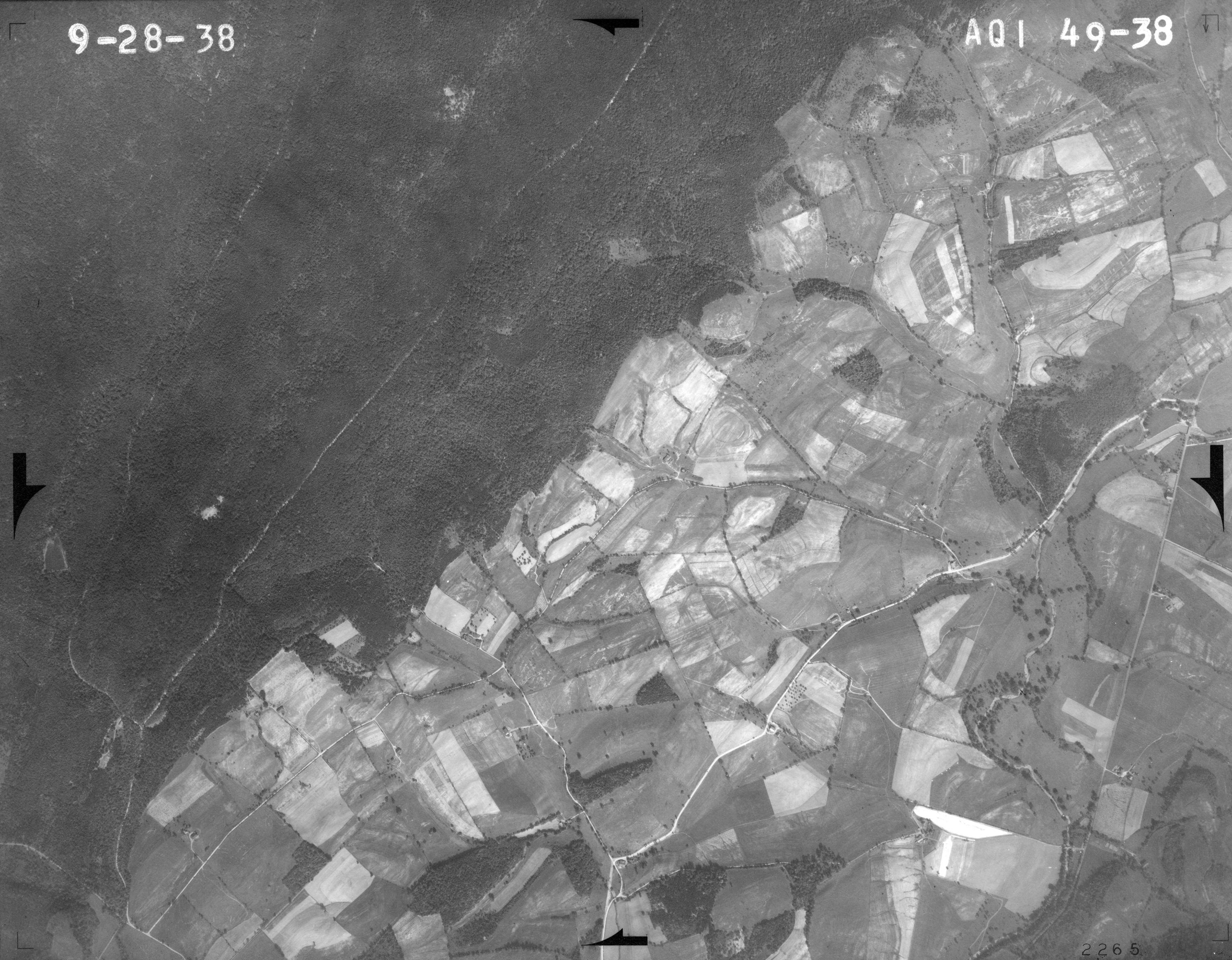
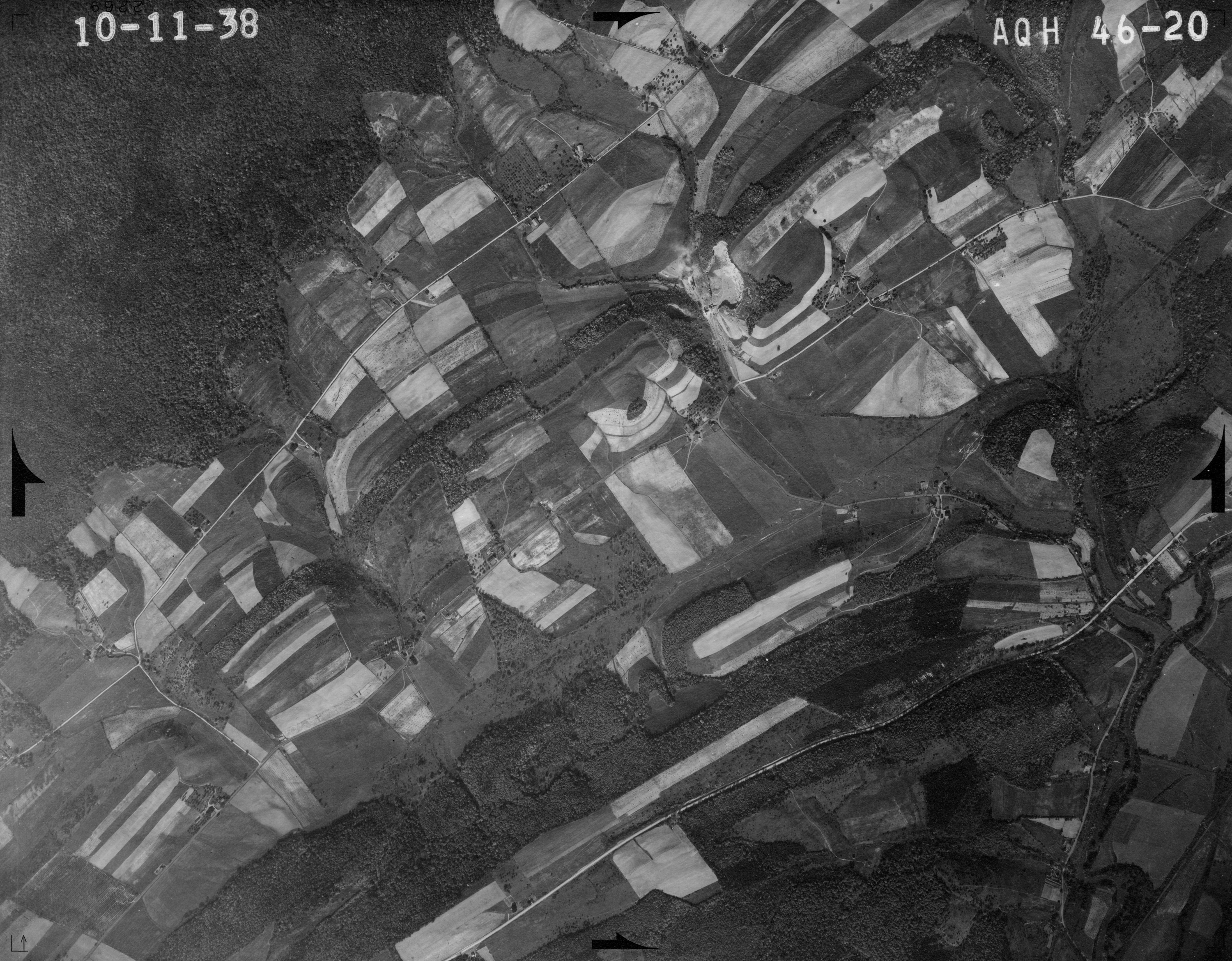
Site #83
Photographs (scale 1:20000) were taken from Historical Aerial Photographs of Pennsylvania (Pennsylvania Geological Survey). An orthoimage is also displayed for 2005 with land cover analysis circles and buffers. The orthoimage (scale 1:10,699) was created with PAMAP Program Cycle 1 High Resolution Orthoimage 2003 2006 (PA DCNR).
- 1938
- 1958
- 1967

- Orthoimage with landcover analysis circles and buffers
- 1938
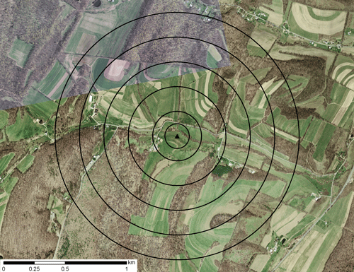
Site #124
Photographs (scale 1:20000) were taken from Historical Aerial Photographs of Pennsylvania (Pennsylvania Geological Survey). An orthoimage is also displayed for 2005 with land cover analysis circles and buffers. The orthoimage (scale 1:10,699) was created with PAMAP Program Cycle 1 High Resolution Orthoimage 2003 2006 (PA DCNR).
- 1938

- 1958
- 1967

- Orthoimage with landcover analysis circles and buffers
- 1938
Site #140
Photographs (scale 1:20000) were taken from Historical Aerial Photographs of Pennsylvania (Pennsylvania Geological Survey). An orthoimage is also displayed for 2005 with land cover analysis circles and buffers. The orthoimage (scale 1:10,699) was created with PAMAP Program Cycle 1 High Resolution Orthoimage 2003 2006 (PA DCNR).
- 1938
- 1958

- 1967

- Orthoimage with landcover analysis circles and buffers
- 1938
Site #151
Photographs (scale 1:20000) were taken from Historical Aerial Photographs of Pennsylvania (Pennsylvania Geological Survey). An orthoimage is also displayed for 2005 with land cover analysis circles and buffers. The orthoimage (scale 1:10,699) was created with PAMAP Program Cycle 1 High Resolution Orthoimage 2003 2006 (PA DCNR).
- 1938

- 1958

- 1967
- Orthoimage with landcover analysis circles and buffers
- 1938
Site #156
Photographs (scale 1:20000) were taken from Historical Aerial Photographs of Pennsylvania (Pennsylvania Geological Survey). An orthoimage is also displayed for 2005 with land cover analysis circles and buffers. The orthoimage (scale 1:10,699) was created with PAMAP Program Cycle 1 High Resolution Orthoimage 2003 2006 (PA DCNR).
- 1938

- 1958
- 1967
- Orthoimage with landcover analysis circles and buffers

- 1938
Site #188
Photographs (scale 1:20000) were taken from Historical Aerial Photographs of Pennsylvania (Pennsylvania Geological Survey). An orthoimage is also displayed for 2005 with land cover analysis circles and buffers. The orthoimage (scale 1:10,699) was created with PAMAP Program Cycle 1 High Resolution Orthoimage 2003 2006 (PA DCNR).
- 1938

- 1958
- 1967

- Orthoimage with landcover analysis circles and buffers

- 1938

return to top


return to top


return to top

return to top


return to top
return to top

return to top

return to top
- Pennsylvania Department of Conservation and Natural Resources, Bureau of Topographic and Geological Survey and United States Geological Survey (2003 to 2006) PAMAP Program Cycle 1 High Resolution Orthoimage 2003 2006. www.pasda.psu.edu/.
- Pennsylvania Geological Survey, Historical Aerial Photographs of Pennsylvania. Penn Pilot. www.pennpilot.psu.edu/. Accessed 13 Dec 2012.